The Challenge
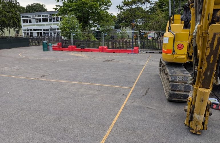
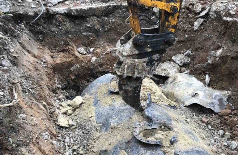
The presence of buried fuel infrastructure presents significant risks to both construction activities and long-term land use. Without precise location data, developers risk costly delays, safety incidents, and planning restrictions. At this site, a major trunk line crossed the development footprint, requiring clear and reliable mapping.
The Solution
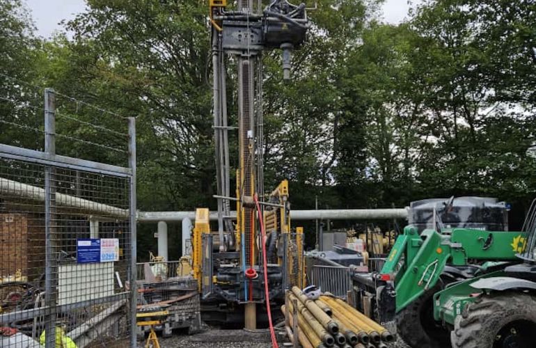
Working with a trusted sub-contractor with whom we’ve collaborated for over 15 years, we deployed Ground Penetrating Radar (GPR) to survey the full route of the fuel line. The survey included:
Identification of pipeline location markers.
Non-intrusive scanning to trace the line through open ground.
Accurate plotting of the pipeline corridor onto site plans.
The Outcome
The resulting survey allowed the client to:
Understand the exact position of the pipeline.
Refine their development layout to work around the easement.
Progress their scheme with confidence, avoiding unnecessary risks or redesigns.
Our involvement provided the clarity needed at an early stage, saving time and reducing uncertainty for the project.